UC BERKELEY · DATA SCIENCE + GEOGRAPHY DOUBLE MAJOR · GIST MINOR

Hanzhen Yu, Geospatial Data Scientist

A portfolio of spatial analysis, remote sensing, cartography, web maps, and research projects.

Selected work

Projects are organized by the problem and method rather than by software. Use the filters to browse different kinds of GIS work.

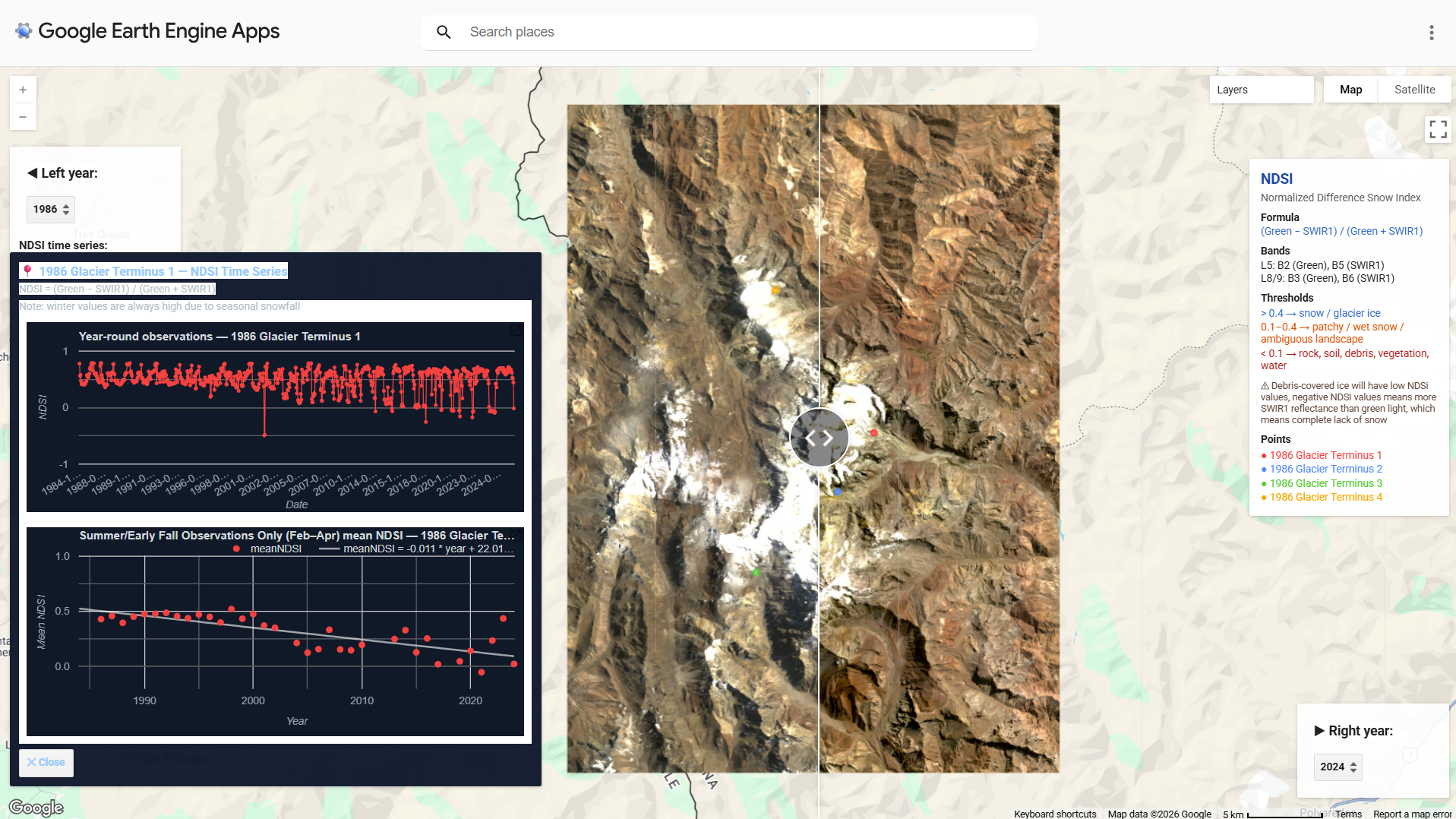
GEE project cover for Aconcagua glacier
Google Earth EngineRemote sensing

Glacier Cover Change near Aconcagua, 1986-2024

Using Landsat, NDSI, and elevation data to explore long-term snow and glacier cover change, snowline elevation, and former glacier terminus points.

Environmental GISCartography

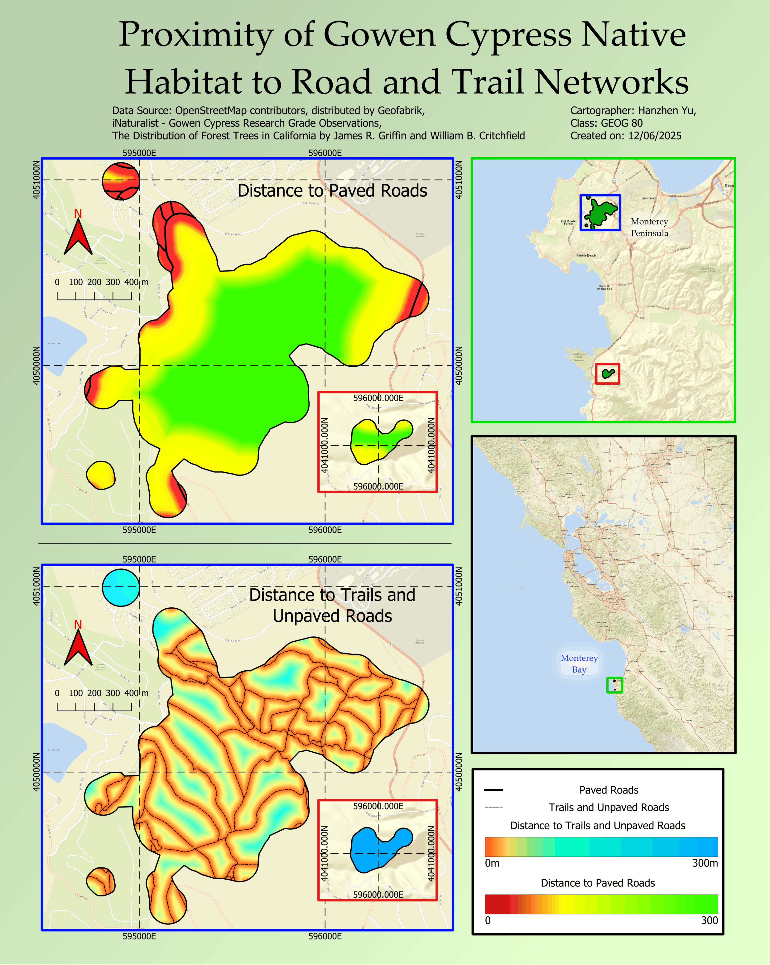
Proximity of Gowen Cypress Native Habitat to Human Disturbance

  • Gowen Cypress is an endangered and endemic species threatened by soil erosion from human roads and trails.
  • Combined datasets from iNaturalist and a published paper together using georeferencing, spatial buffers, and concave hulls.
  • Generated proximity raster from the result.
View project →
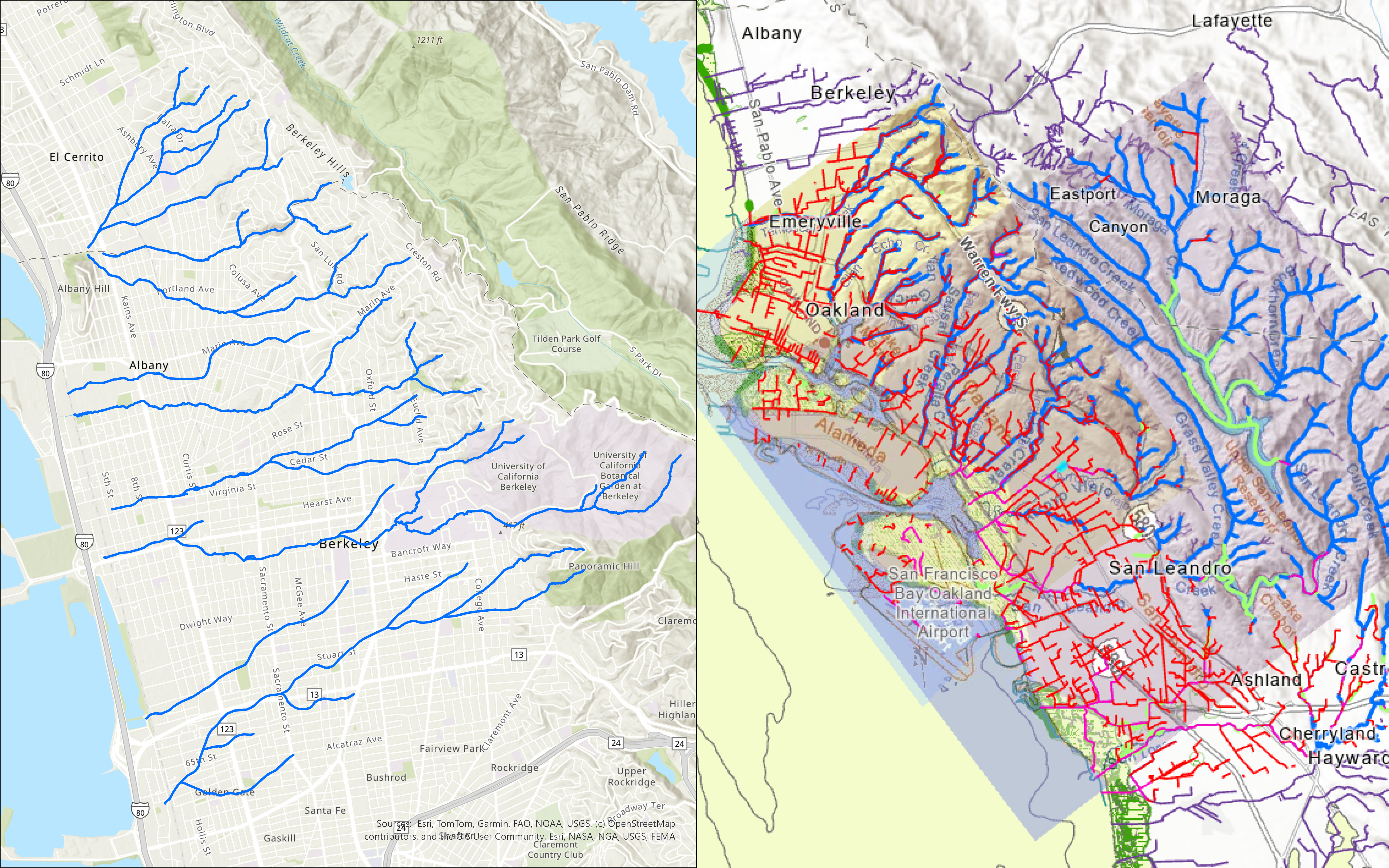
Historical creek map layout for the Bay Area
Work in progressHistorical GISResearch

Tracing Historical Creeks in the Bay Area

Historical-GIS project under the mentorship of Professor Clancy Wilmott and in collaboration with The Sogorea Te Land Trust.

  • Merged georeferenced historical maps, current databases, and topographic flow lines to reconstruct creeks in the Bay Area before European settlement.

About

I’m a current sophomore at UC Berkeley majoring in Data Science and Geography, with a minor in GIST. I am particularly interested in geospatial research in the context of environmental change.